Cache Creek
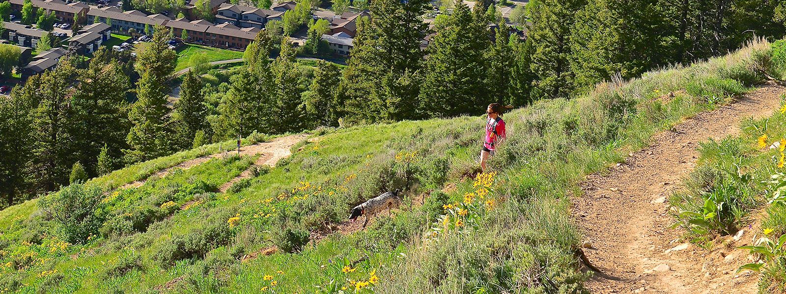
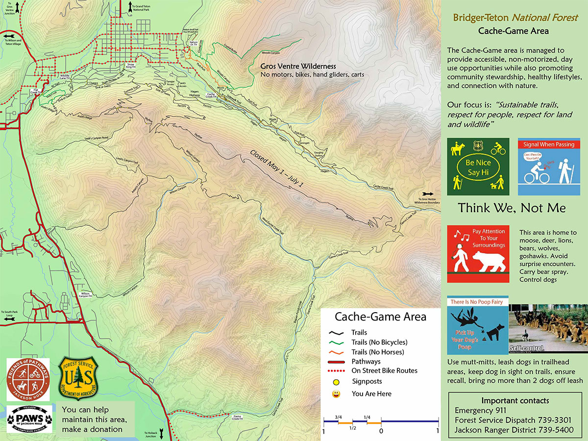
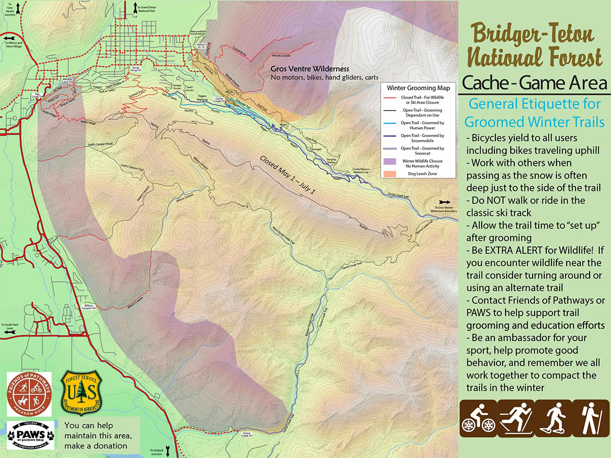
The Cache Creek and Greater Snow King Trail Systems on the Bridger-Teton National Forest have the most dense concentration of trails in Jackson Hole. Running, cycling, hiking, and horseback riding options are just minutes from town.
Be prepared to share-the-trail as the first mile near the trailhead can be crowded at certain times of day. Even with the heavy use this area receives, wildlife is abundant and includes moose, bear, mountain lion, deer and many bird species. Make sure to pay attention to your surroundings and be prepared to encounter wildlife on the trail.
Game Creek
Game Creek flows through a beautiful canyon on the Bridger-Teton National Forest just south of Jackson. The Game Creek Trail snakes through a meadow, with marshes and wildflowers. Then, it connects to other trails, including the Cache Creek Trail that takes you through to the Cache Creek Trailhead.
CACHE CREEK TRAILHEAD
- Starting from the town square, follow Broadway towards the National Elk Refuge and St. John’s Hospital.
- Turn right, at the stop sign, onto Redmond Drive.
- In .4 miles, turn left onto Cache Creek Drive.
- Follow Cache Creek Drive for 1.2 miles until you arrive at the Cache Creek Trailhead.
NELSON DRIVE TRAILHEAD
- Starting from the town square, follow Broadway towards the National Elk Refuge and St. John’s Hospital.
- Continue on Broadway until the National Elk Refuge, then turn right onto Nelson Drive.
- After .2 miles turn left to stay on Nelson Drive.
- Just ahead you will see a small parking area at Nelson Drive Trailhead.
GAME CREEK TRAILHEAD
- From the town square, head west on Broadway for 2 miles.
- Continue on US-189 S/US-191 S/US-26 W/US-89 S for 5.8 miles.
- Then, turn left onto Game Creek Road.
- In .9 miles, the trailhead will be on your left.

